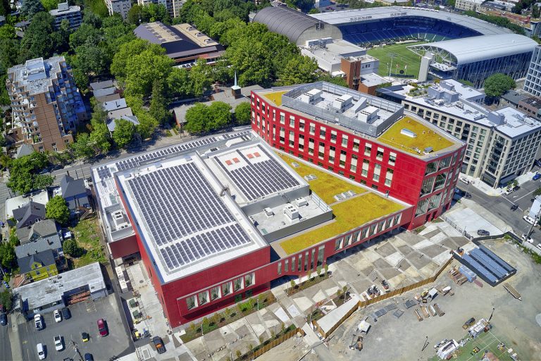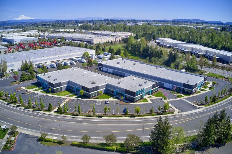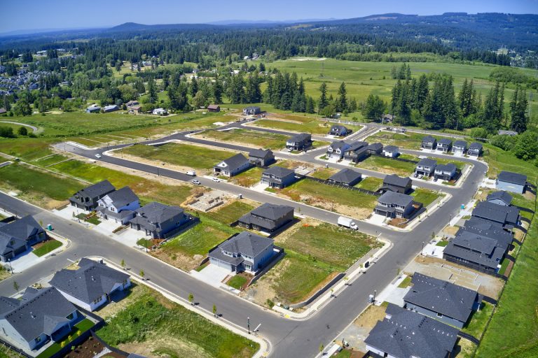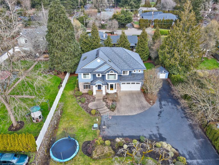
Drone services company offering high-quality aerial photography and video to all industries.

Drone services company offering high-quality aerial photography and video to all industries.
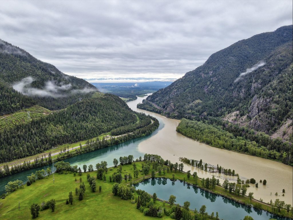
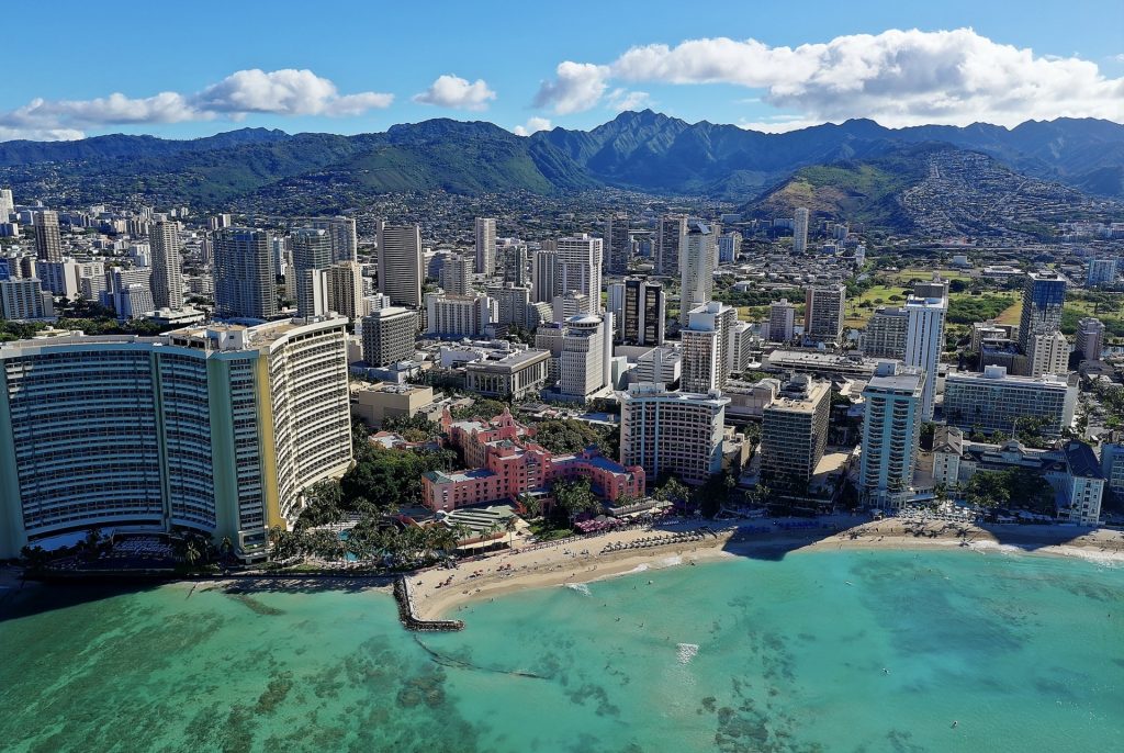
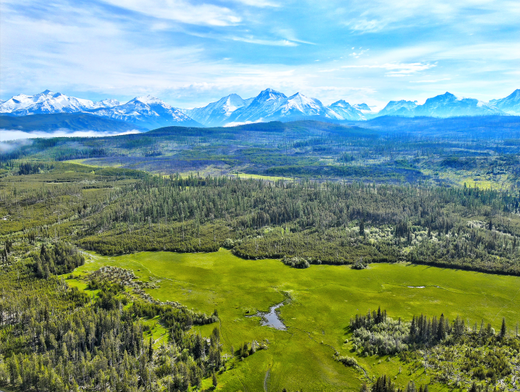
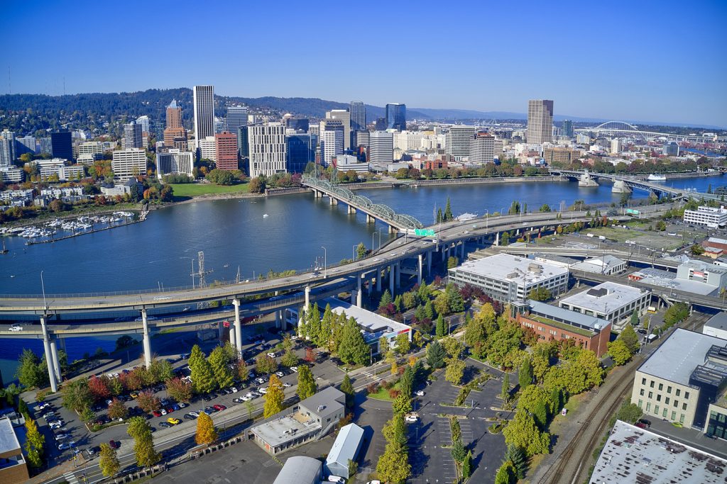
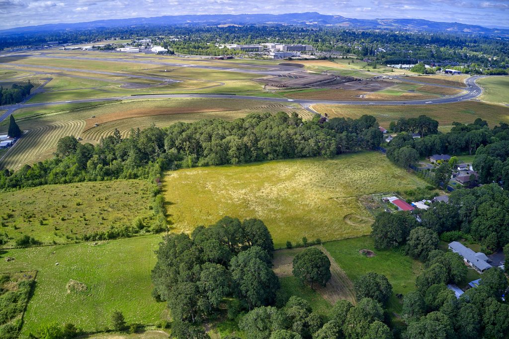
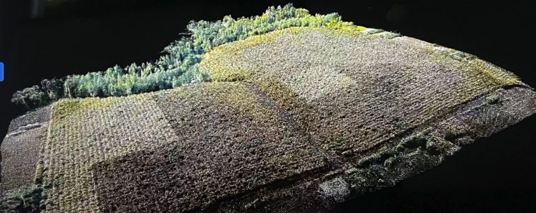
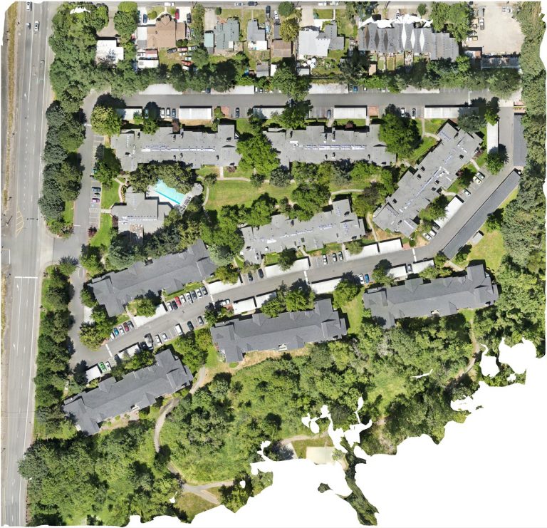
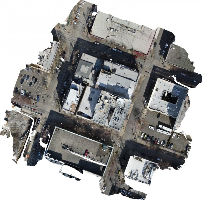
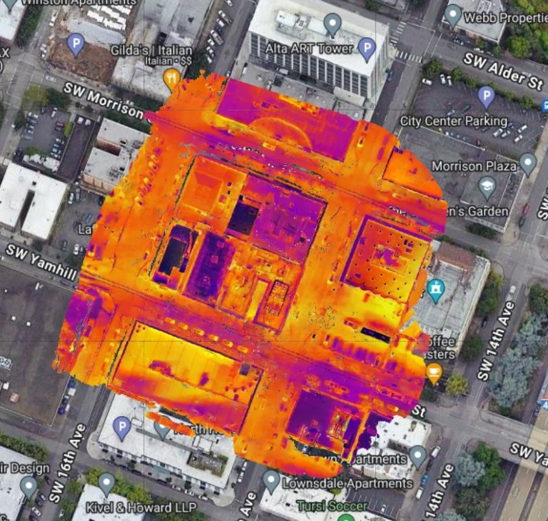
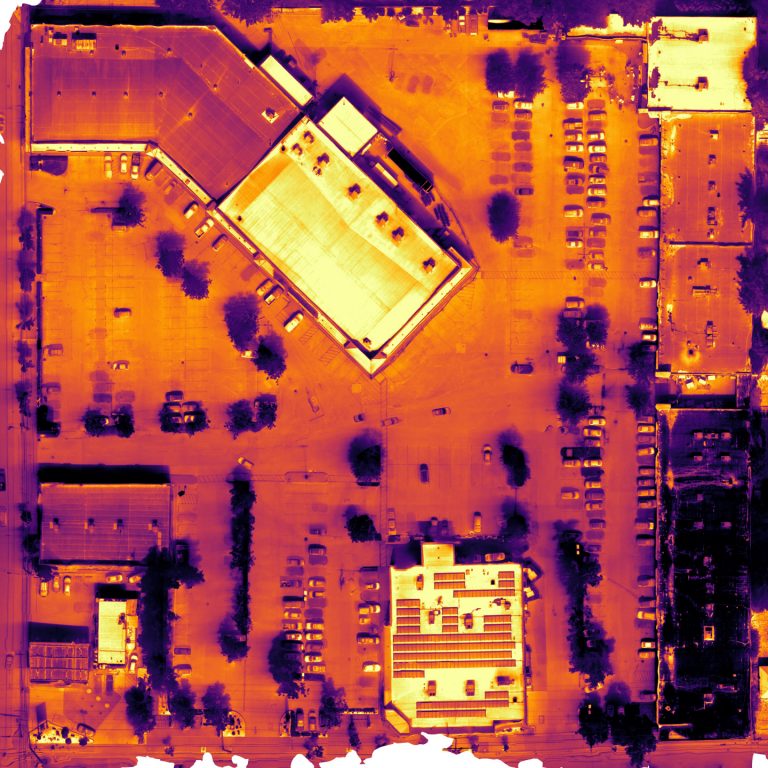
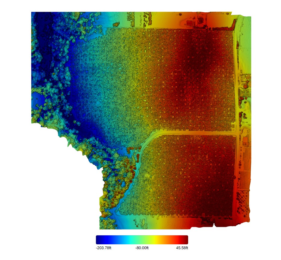
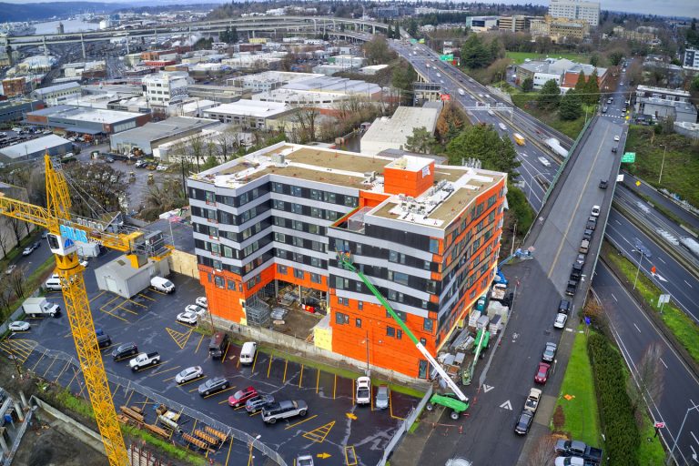
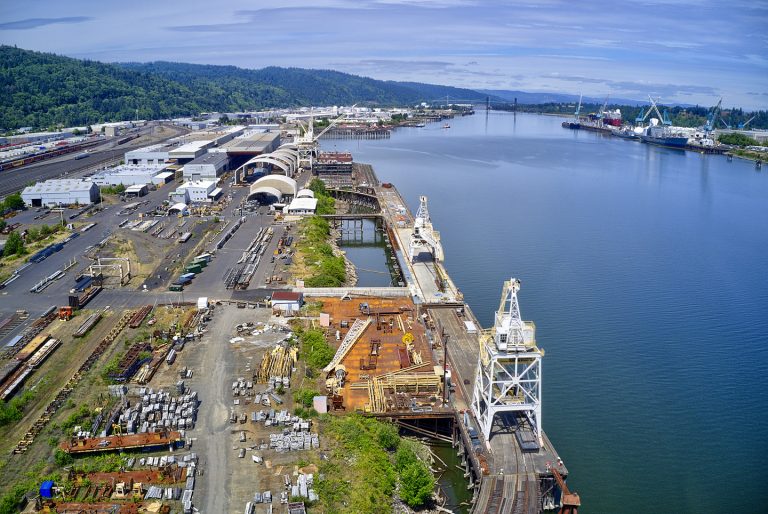
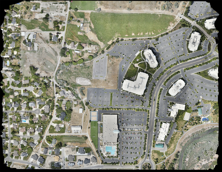
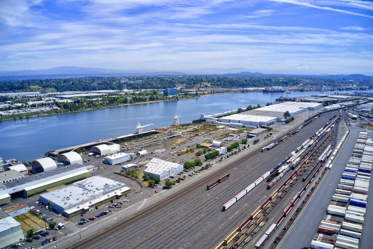
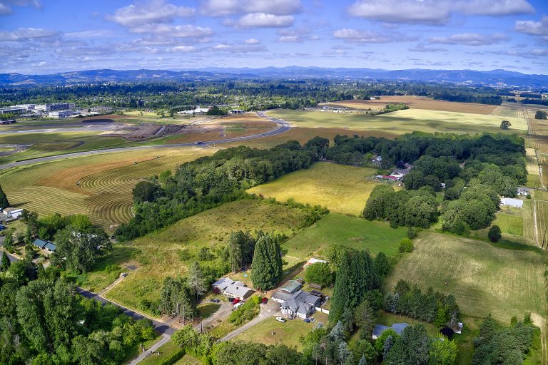
Veteran Drones is a full-service commercial drone services provider based in Portland, Oregon. Our drone services include aerial inspections, aerial surveying support, mapping, and 3D modeling. We use advanced technology and software for detailed high-definition aerial photography and video images for orthomosaic mapping and thermal imaging. This, combined with sophisticated data analysis and reporting, helps you make informed operational and strategic decisions.
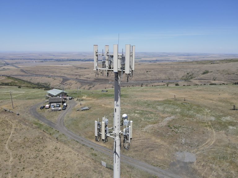
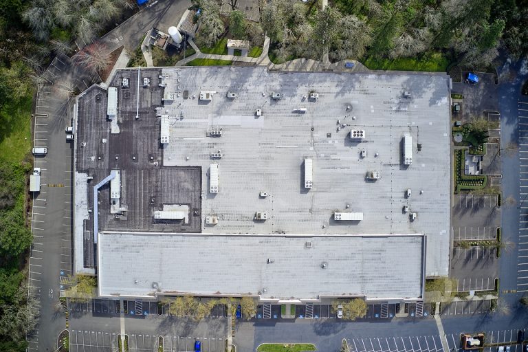
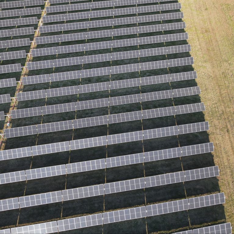
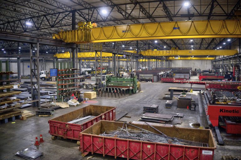
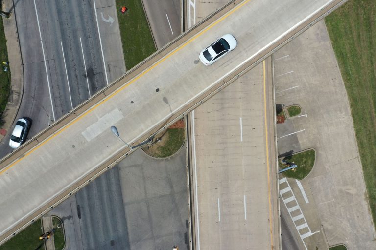
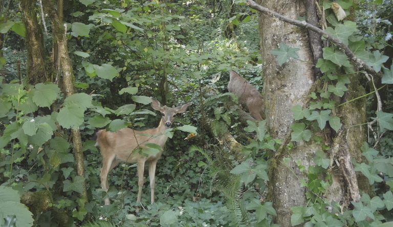
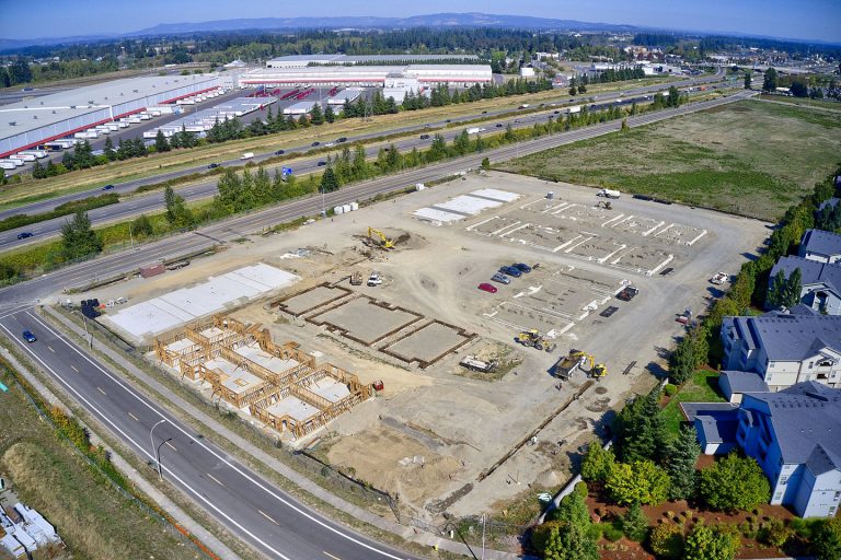
We offer aerial inspections and surveying assistance for various industries and professions. Some industries we serve include agriculture, construction, civil engineering, surveying, industrial, energy, roofing, wildlife and livestock management, and environmental conservation. We also provide drone services for real estate, retail, outdoor recreation, resorts, RV parks, marinas, media, marketing, and more.
Veteran Drones is a veteran-owned company. Founder and co-owner, Daniel Sautter, flew drones for the United States Army, using his precise drone navigation skills to pinpoint otherwise unreachable sites. Daniel and his team of drone pilots use the same navigational skills and attention to detail that make Veteran Drones the best choice for all of your aerial drone requirements.
Our pilots are FAA-certified, experienced, and fully insured, so you can feel confident when you hire Veteran Drones for your aerial projects, you will receive professional results. Veteran Drones is based in Portland, and we offer drone services throughout Oregon and the Pacific Northwest.
I have worked with Daniel for almost two years now. It is hard to find someone as reliable in this industry with consistent results and quality of work. I have never worried about a single project Daniel has done for me in terms of that. Amazing communication and extremely reliable. There isn’t much more you can ask for. He won’t disappoint.
Madison Belanger
Senior Project Manager
VidTech, Inc.
I have used Veteran Drones for multiple properties, both buildings and land, with great experiences all around. My drone needs have always been met with timeliness, professionalism, and high-quality products. I plan on using Veteran Drones for all my future drone photography needs.
Clayton Madey
Macadam Forbes, Inc.
