Drone services company offering high-quality aerial photography and video to all industries.

Drone services company offering high-quality aerial photography and video to all industries.
Our drones are equipped with high-resolution cameras that can provide detailed images of your project. During drone aerial inspections, our experienced pilots can maneuver their drones in places inaccessible or difficult to reach without compromising safety. Our drone aerial inspections can get your job done faster and more accurately, saving both cost and time.
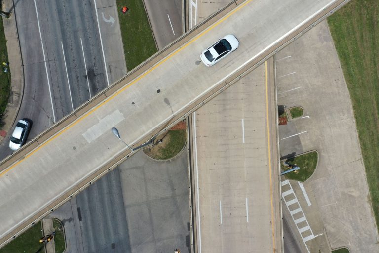
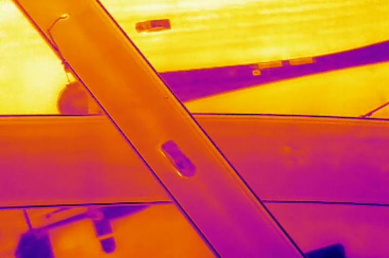
The use of drones to inspect bridges and other infrastructures saves both time and money by quickly, accurately, and safely identifying areas of concern that would otherwise be inaccessible.
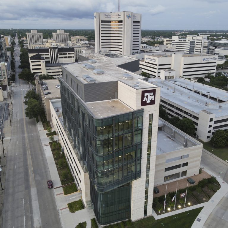
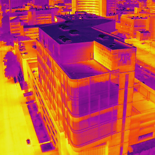
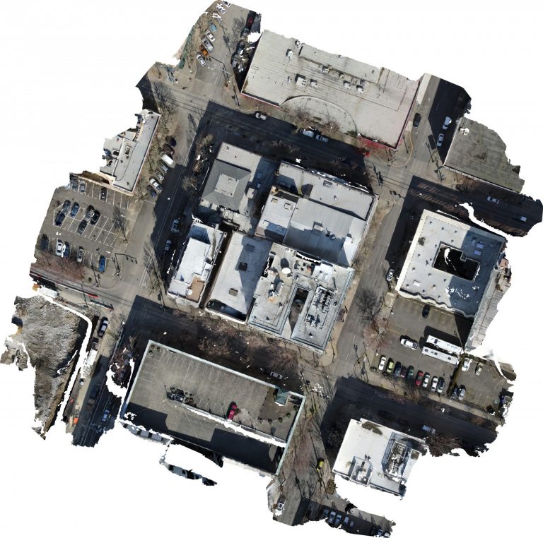
Building envelope inspections are critical for ensuring the safety, durability, and energy efficiency of a building. Veteran Drones uses aerial inspection and thermal imaging to identify any energy issues or defects that may be affecting your building.
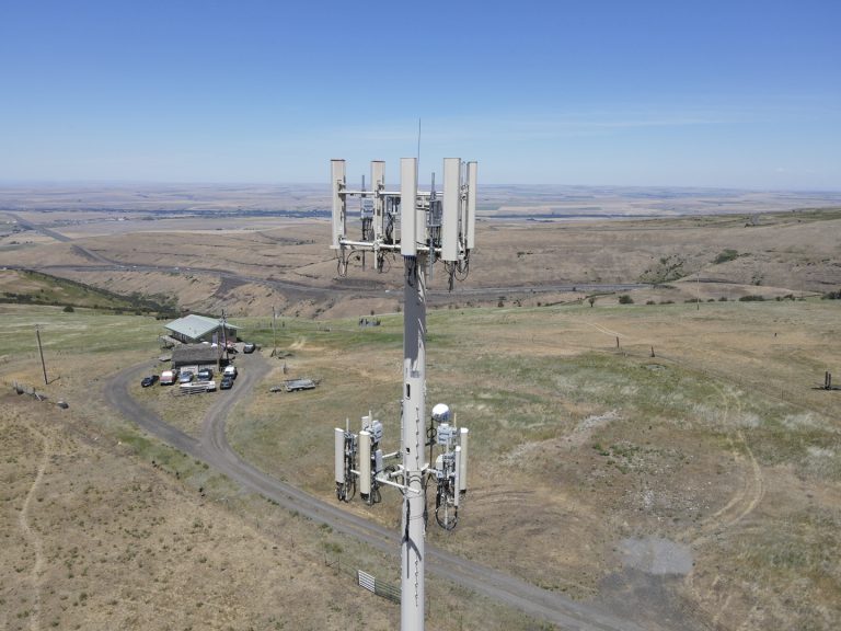
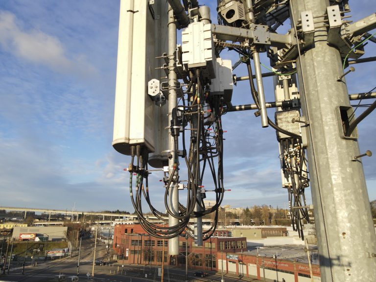
The Federal Communications Commission (FCC) mandates cell tower inspections for the infrastructure’s safety, maintenance, and preservation. The inspections involve a lot of manpower and are extremely risky. Drones eliminate the risk factor of traditional cell tower inspections and can produce detailed images of the infrastructure and its attached systems, antennas, anchors, lines, and wires. Our drone pilots can complete an inspection within hours rather than the weeks it would take for manual inspections of a cell tower.
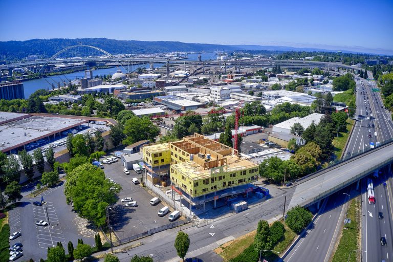
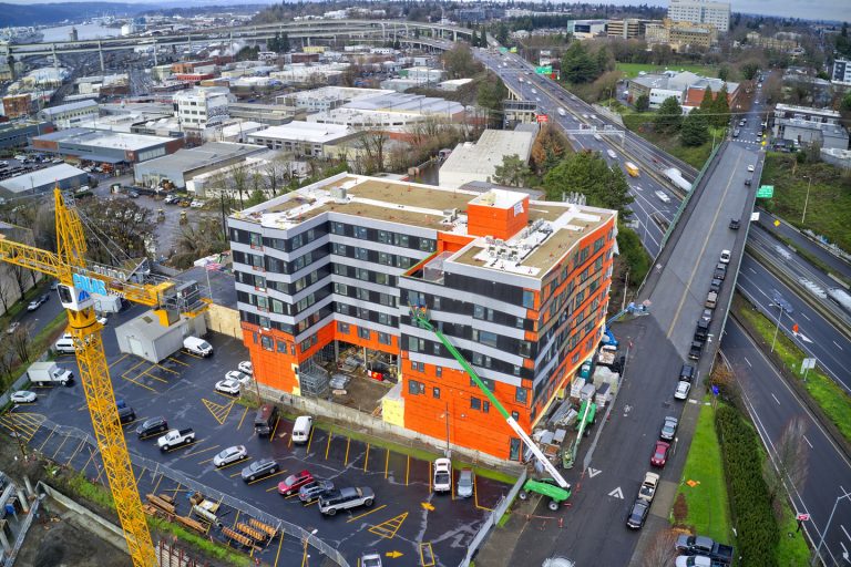
Drone construction progress tracking is an efficient and affordable way to identify potential issues early in the building process, saving costly errors and delays. The data we collect through our high-resolution cameras and high-tech software saves project managers and construction supervisors time by utilizing our mapping images to make accurate measurements of building details.
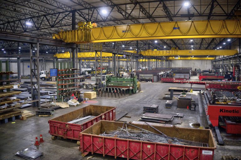
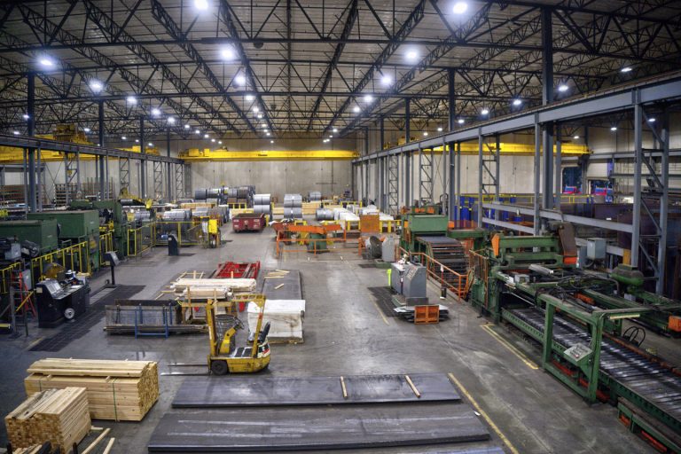
Our FAA-certified drone pilots can maneuver their drones into places otherwise difficult, dangerous, or near impossible to reach. This saves you and your employees from using unsafe practices to accomplish what Veteran Drones can do quickly, safely, and accurately.
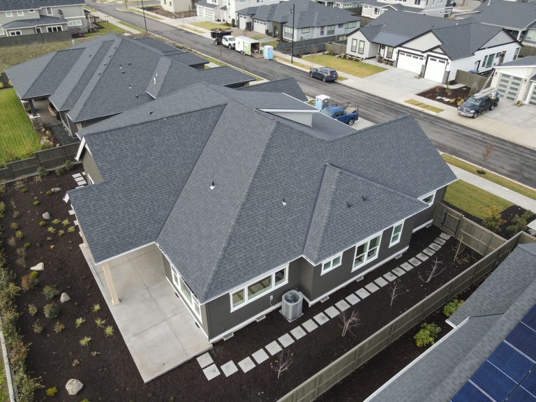
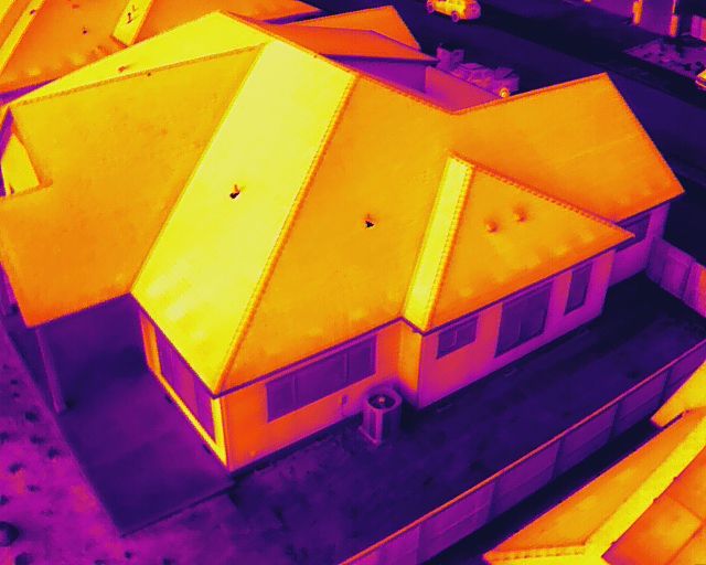
Our residential energy audits use infrared thermal imaging from a drone camera to provide accurate information to correct energy loss, imbalances, and inefficiencies. We can detect costly energy leaks, identify hot and cold spots, and find areas prone to overheating before they cause equipment failure.
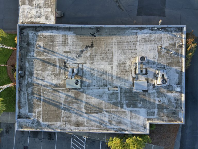
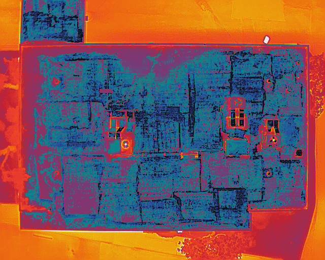
When it comes to roof inspections, safety and efficiency are critical. Our drone roof inspections can help detect any energy or water leaks using infrared thermal cameras and the most advanced software. We can help you pinpoint the leak before it becomes a major problem, saving you time and money over manual roof inspections.
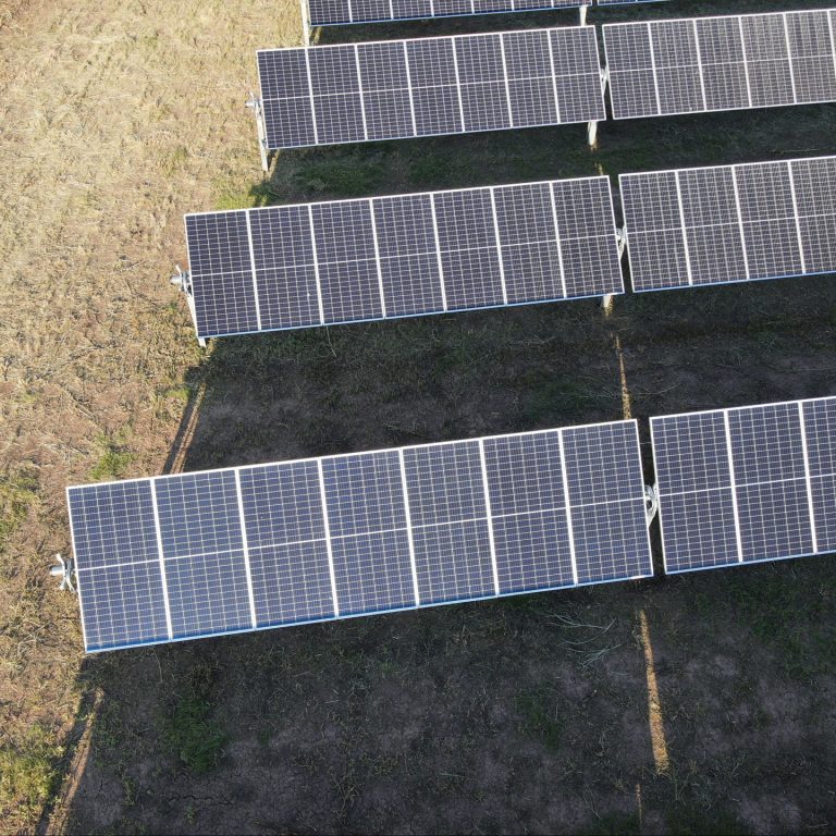
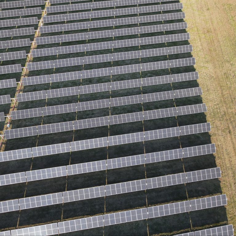
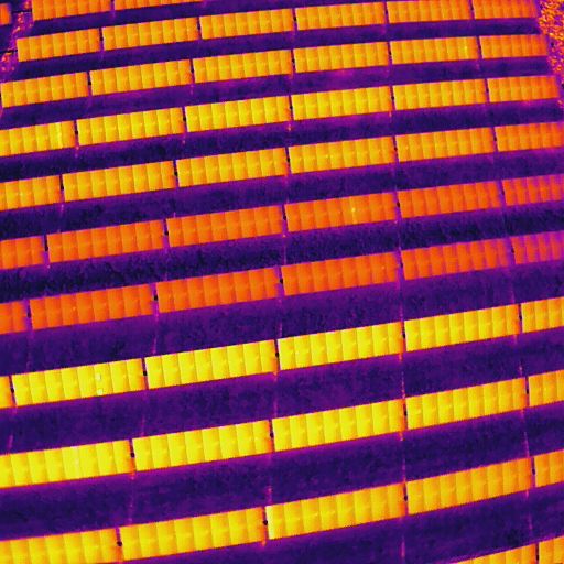
Using our drone camera technology for thermal mapping and infrared imaging during solar farm inspections provides you with accurate details of any cell deficiencies. This would include cell degradation and interconnection issues– both of which can impair operational efficiency. Using drones rather than airplanes or helicopters for solar farm inspections will give you more accurate reports because drones can fly closer to any problem area, and pinpoint any areas of concern.