Drone Services for Surveying and Mapping
Drones can provide faster land surveying support and mapping with precision and accuracy. Architects and surveyors use our drone services to help reduce costs and save valuable time in getting their projects completed.
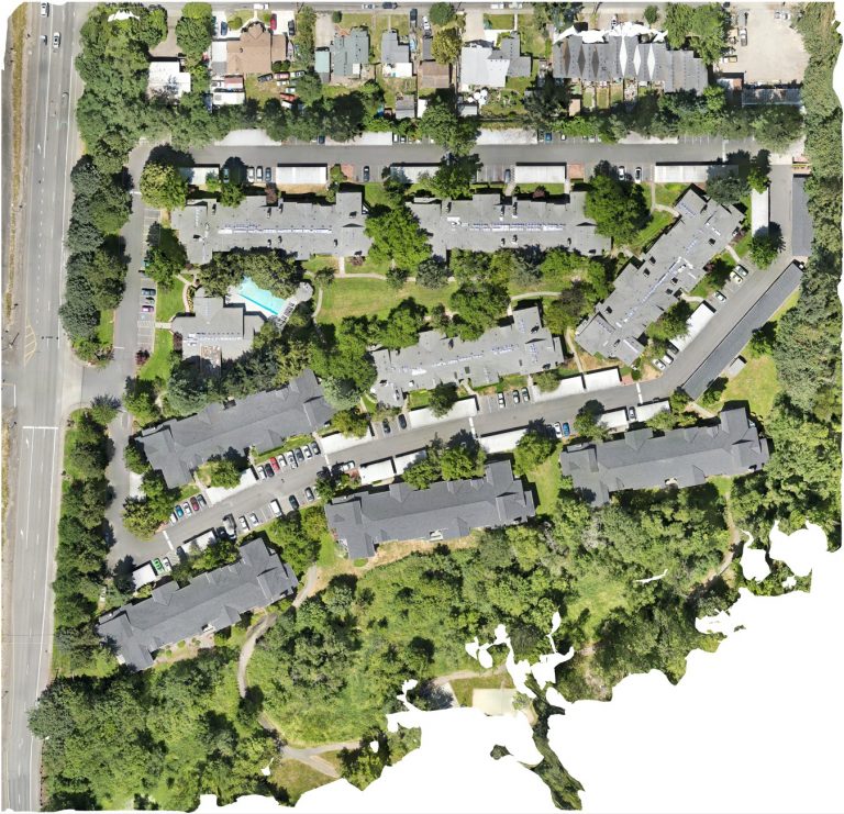
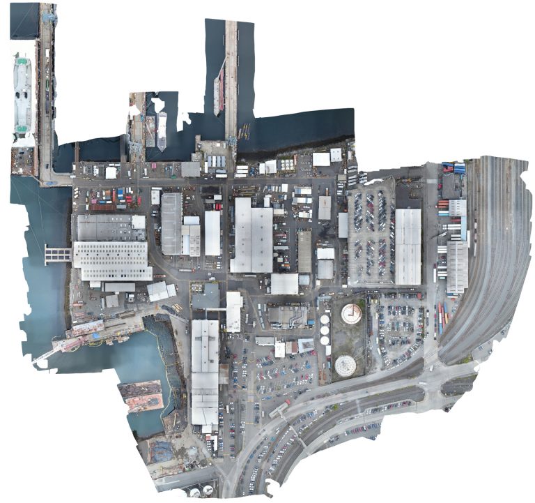
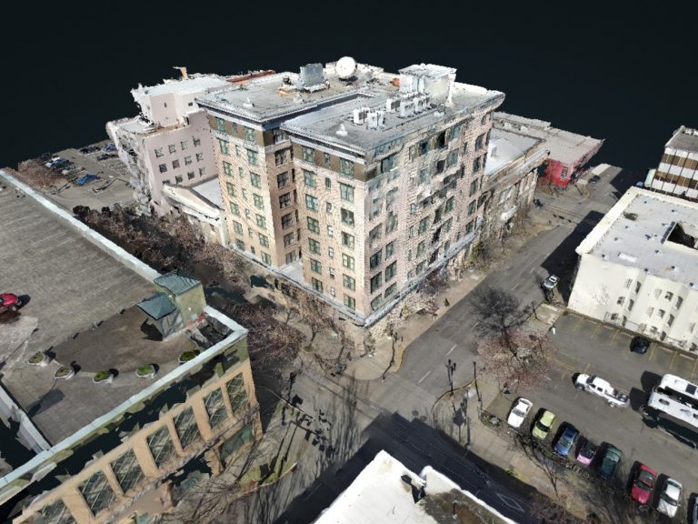
Orthomosaic Mapping, Topographic Surveying, and 3D Models
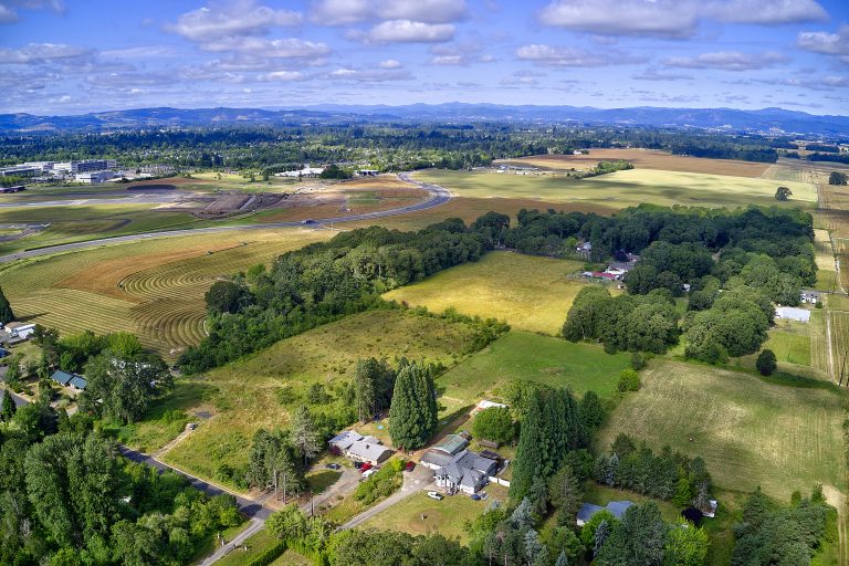
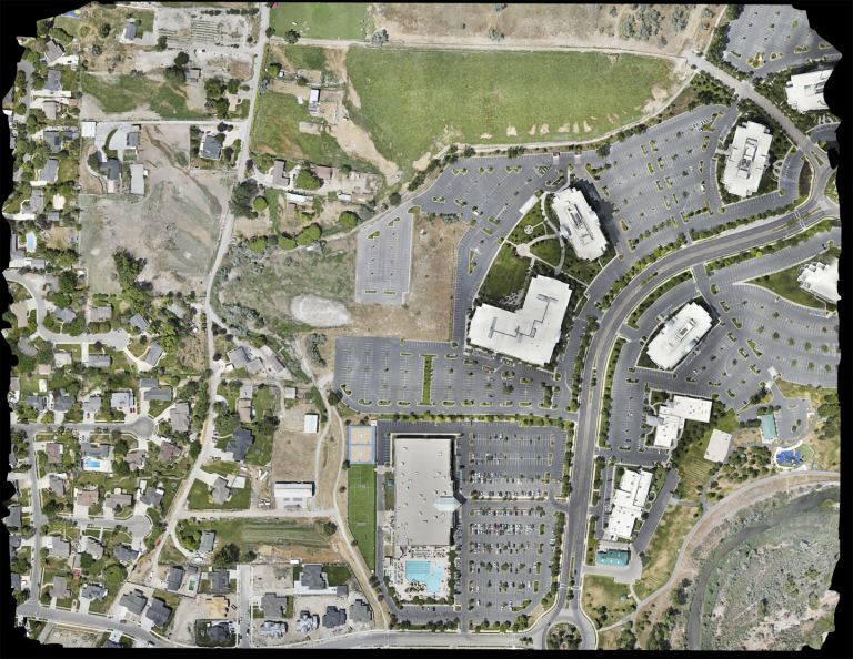
Orthomosaic Mapping combines hundreds to thousands of smaller images to create a large map-quality image with high detail and resolution. Orthomosaic maps using our drones are invaluable to surveyors and architects because maps made with drone imagery are faster to obtain than traditional image-capturing methods using aircraft or cranes.
Our orthomosaic mapping services offer precise and detailed aerial imaging, allowing you to gain invaluable insights into your projects with unparalleled accuracy. Whether you’re in construction, agriculture, or land development, our speed of data collection and clarity of information will facilitate prompt decisions and increase productivity on site.
Drones for Agricultural Surveying
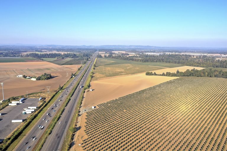
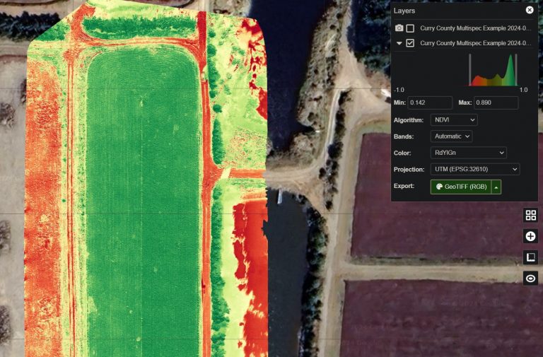
The future of farming involves more technology, with drones playing a big role. It’s been shown that the use of drones to assist in surveying increases productivity and crop yield in the agriculture industry by allowing farmers to obtain information about their land’s soil conditions. Multispectral sensors capture data useful for seed planting patterns, thorough field soil analysis, irrigation, and nitrogen-level management. Drones can also help farmers troubleshoot potential problems, saving both time and resources for crop management.
Drone Services for Building Site Surveying & Site Mapping
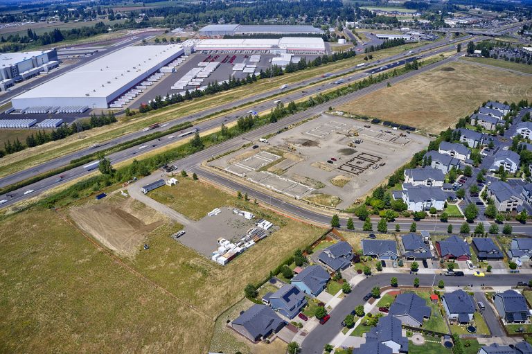
Drones can quickly and accurately provide aerial imagery of a construction site before work begins, assisting architects and surveyors, and saving builders both time and money. Our drone data from photogrammetry provides planners and builders with accurate details in which to make informed decisions on their projects.

Drone Services for Environmental and Land Use Surveying
Drones can perform work for 3D mapping, land surveys, photogrammetry, and topographic surveying, making them invaluable to architects and surveyors in environmentally sensitive areas. Our drones can generate high-resolution orthomosaic images and detailed 3D models quickly and easily even in difficult-to-access areas.
Drone Services for Transportation and Railroad
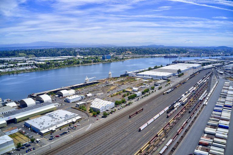
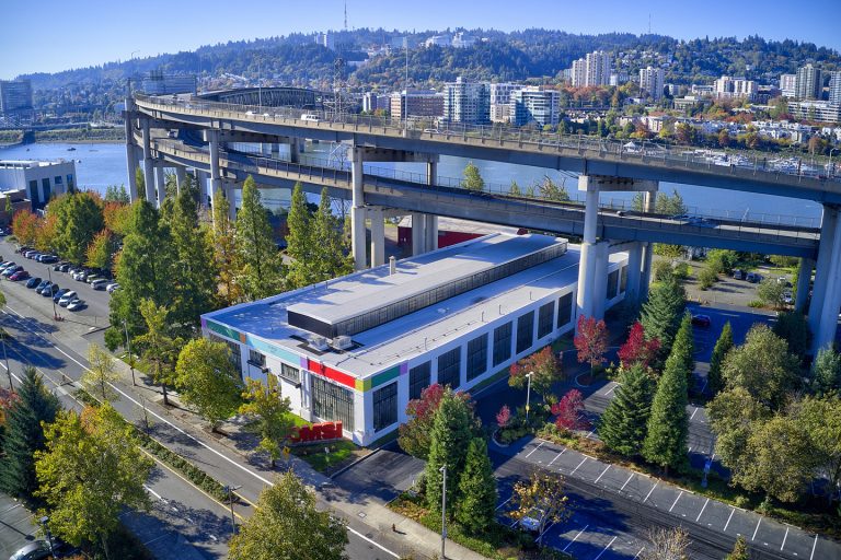
Drones aid the railways and roadways agencies by conducting aerial inspections, and monitoring structures, transportation usage, and traffic flow. Veteran Drones offers accurate aerial survey data and mapping that helps the transportation industry maintain efficiency and adhere to safety regulations.
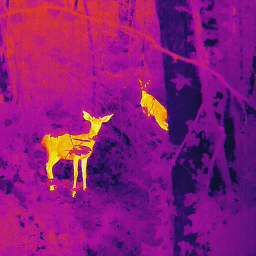
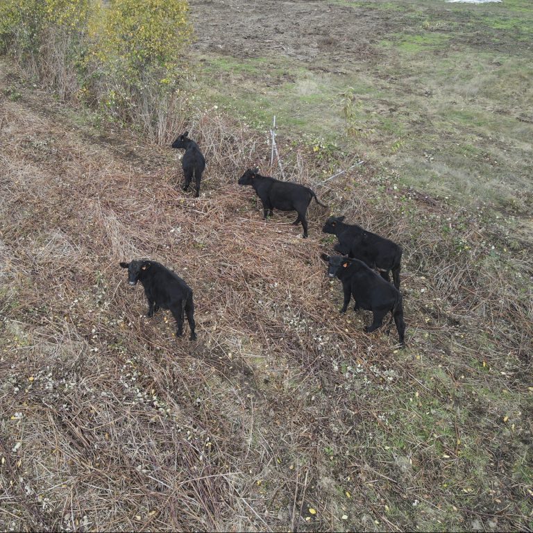
Wildlife/Farm Surveying, Monitoring and Conservation Management
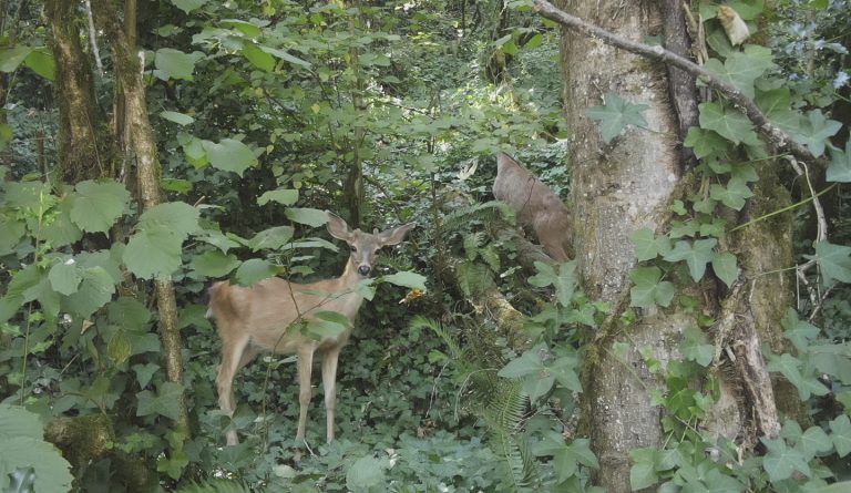
Using advanced technology, our drones can monitor, track, survey, and protect wildlife and their habitat. We can gather crucial data while minimizing human disturbance. Our drones can also be used to survey livestock, monitor pastures for rotational grazing, and collect data on both the quantity and nutritional value of pastures. The data could also be used to optimize hay harvest.
